
Rishiri is a round island in the sea west of Wakkanai. Mt. Rishiri (“Rishiri Fuji”, 1,721 m) rises in the middle and can be seen from anywhere on the island. The ferry from Wakkanai Port takes about 1 h 40 min and arrives at Oshidomari Port on the east side. A road circles the island, linking villages such as Oshidomari and Kutsugata with ponds, capes and viewpoints. Choose where to go from the photos and notes our president made touring the island in May 2026.
The photos of this area were taken on site by our president in 2026.
A cape overlooking Oshidomari Port. Rishiri Fuji beyond the harbor
Scenic viewsSeaWalking
A park spreading over the foothills of Rishiri Fuji
MountainsScenic views
A quiet pond about 1 km around, with Rishiri Fuji reflected on the water
LakesWalkingScenic views
The sea and lighthouse of Kutsugata on the west side of the island
SeaLighthousesSunsets
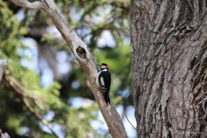
A small mountain near Oshidomari. A short climb to views of Rishiri's sea and town
MountainsWalkingScenic views
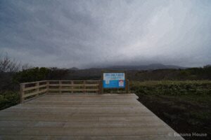
An observation deck on the northwest side of the island with views of the sea and the mountain
Scenic viewsSea
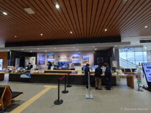
The gateway to Rishiri Island, where ferries from Wakkanai arrive
Rides & transportHistory
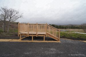
The largest pond on Rishiri Island. A famous spot for viewing Rishiri Fuji
LakesScenic viewsWalking

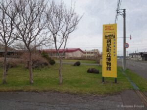
A town museum for learning about the history and nature of Rishiri Island
History
Looking for a home or selling in Tomakomai?
“Lake Shikotsu or Noboribetsu on weekends”, “near the airport and port makes travel easy”: we suggest areas and homes around Tomakomai that fit the way you want to live.