
The Soya region around Wakkanai is the northernmost part of Japan. It is about 5 hours by car from Tomakomai, with northern seas and hills all along the way: the Ororon Line on the Sea of Japan coast, the Soya Hills, Cape Soya and Cape Noshappu. Ferries to Rishiri and Rebun leave from Wakkanai Port. Choose where to go from the photos and notes our president made on site in 2013, 2015 and 2026.
The photos of this area were taken on site by our president in 2013, 2015, 2026.
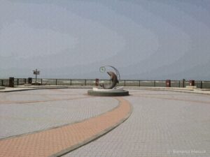
Wakkanai's famous sunset spot. A cape with views of Rishiri and Rebun
SunsetsSeaLighthouses
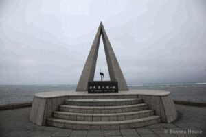
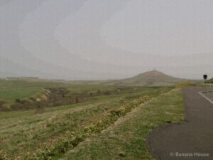
The northernmost point of Japan. The Soya Hills, with their white road
Scenic viewsSeaHistory
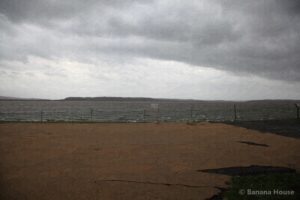
Ponds in Wakkanai where swans stop to rest
Lakes
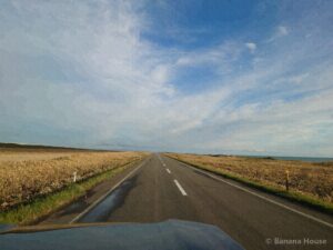
Japan's northernmost airport. From the sky to the northern land
Rides & transport

Japan's northernmost station, and a breakwater dome like ancient Roman architecture
HistoryRides & transport
Looking for a home or selling in Tomakomai?
“Lake Shikotsu or Noboribetsu on weekends”, “near the airport and port makes travel easy”: we suggest areas and homes around Tomakomai that fit the way you want to live.