
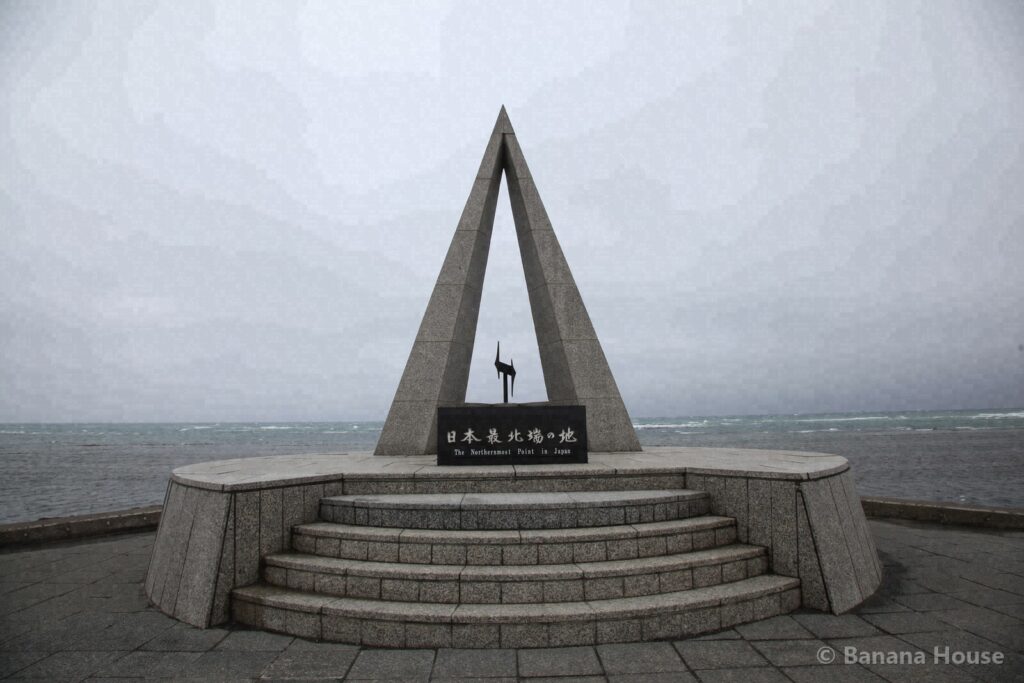
The northernmost point of Japan. The Soya Hills, with their white road
| Getting there | From Tomakomai Station: about 5 h 30 min by car (about 385 km by road). A rough guide only. Please check ferry schedules and road conditions with the operators and road information services before you leave. |
|---|---|
| Highlights | Scenic views · Sea · History |
| Area | Soya & Wakkanai |
| Our photos | 2013, 2015, 2026 |
| Map | Open map |
What kind of place are Cape Soya and the Soya Hills?
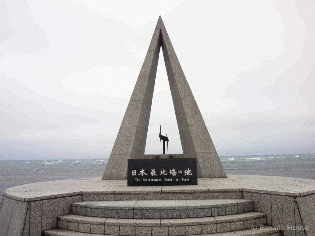
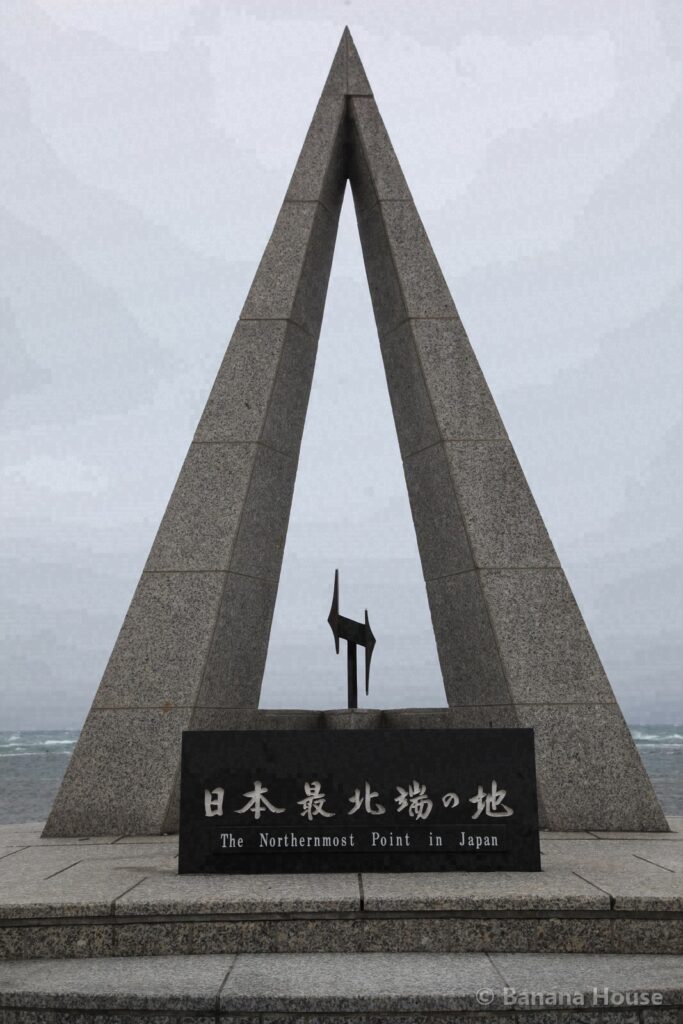
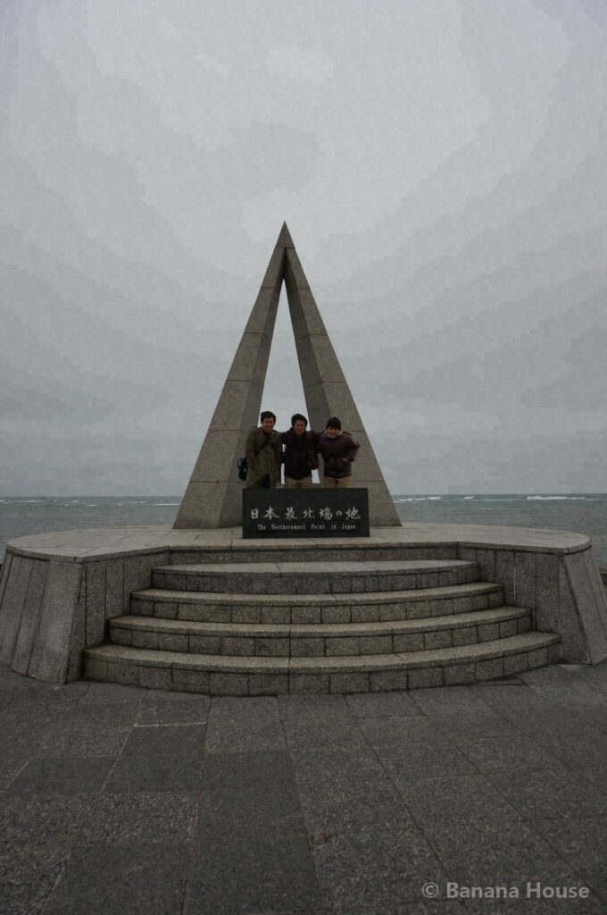
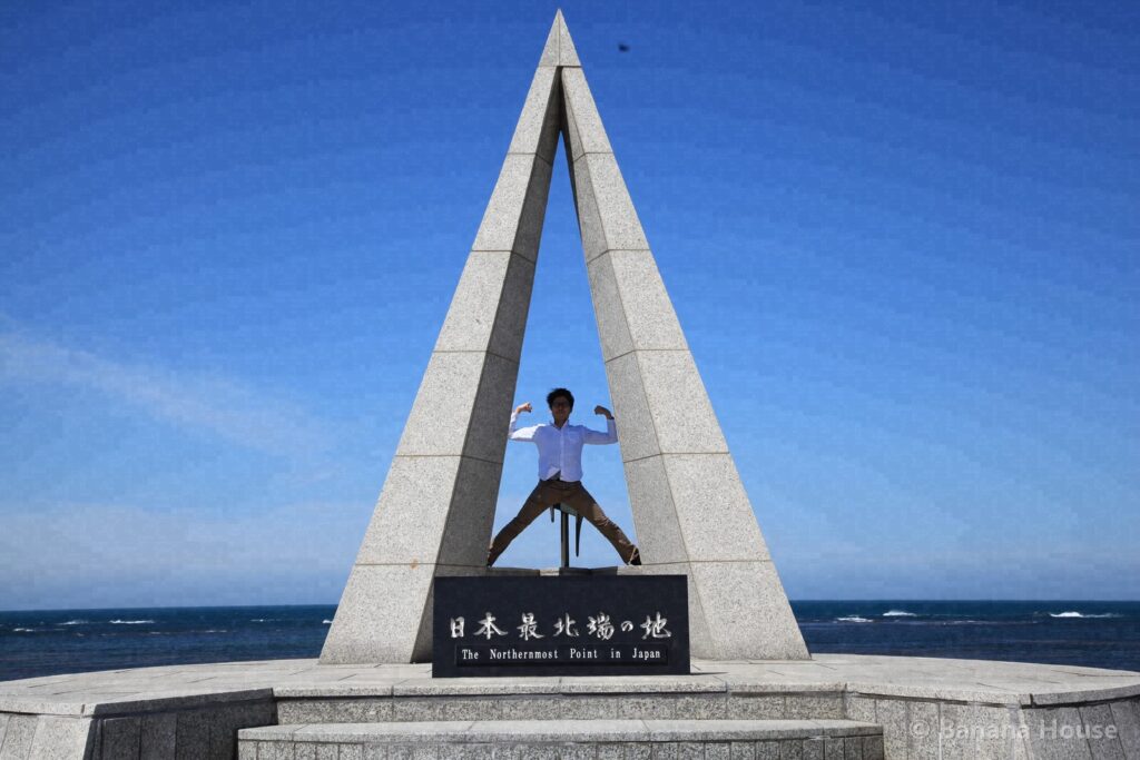
Cape Soya, in Wakkanai City, is the northernmost point of Japan. A monument marking “the northernmost point of Japan” stands on the cape, and when the weather is good you can see Sakhalin across the sea.
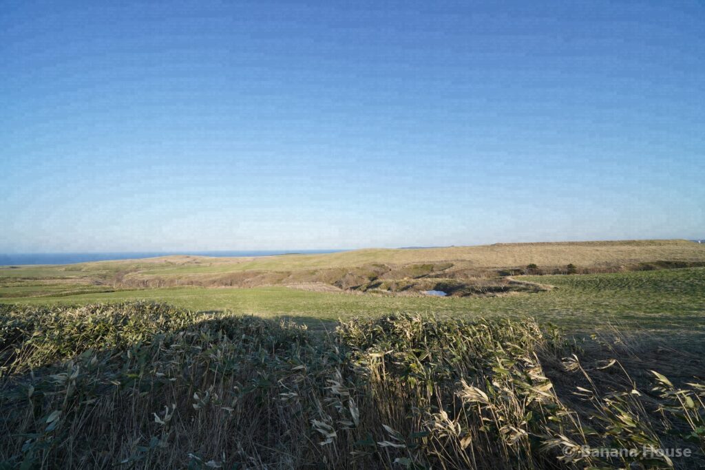
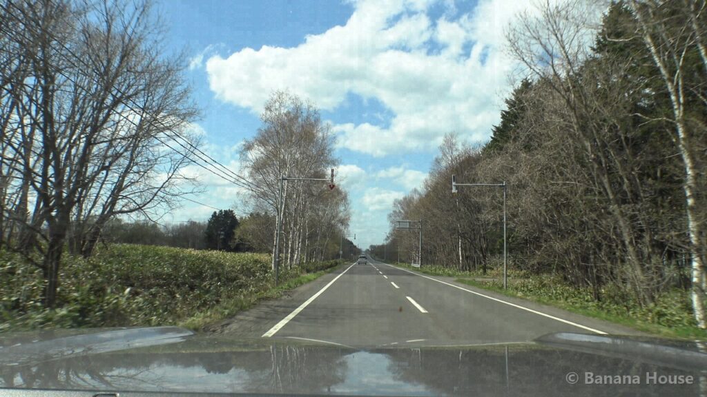
The Soya Hills spread out behind the cape, a unique landscape of gently rolling hills. The “White Road” paved with scallop shells and the wind turbines lined up on the hills are scenery found only in this area.
How to get there
From Tomakomai Station: about 5 h 30 min by car (about 385 km by road).
Travel times are estimates based on road distances calculated from road map data (OpenStreetMap), assuming an average speed of about 55 km/h (about 70 km/h for trips over 40 km). Ferry schedules and travel times change with the season and the weather, so please check with the ferry operator before you leave.
Highlights
Many people take commemorative photos at the monument marking Japan’s northernmost point.
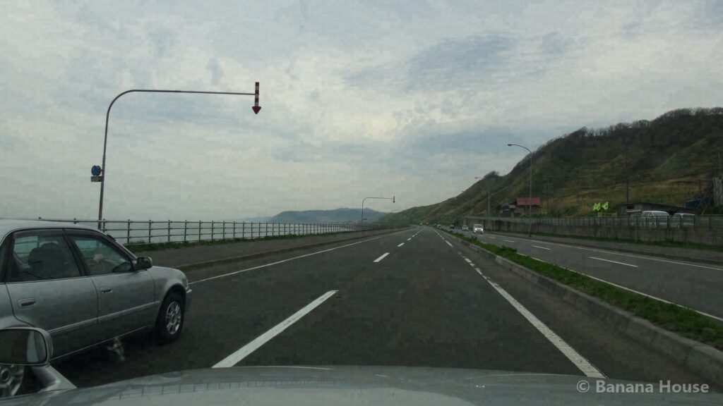
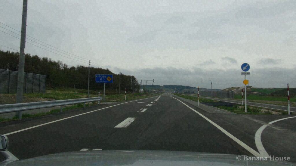
Just driving along the roads through the hills, you can enjoy the changing scenery.
Our photo record
Our president visited in May 2013, twice in May 2015, and in April 2026 and took about 580 photos.
This page was machine-translated. The Japanese original prevails.
Photos: Banana House Inc. (taken by our president). Do not reuse without permission.
Our photo records and timestamp certificates
The 10 photos in this article were taken on site by our president. We list the SHA-256 hashes of the published files and have them signed by timestamp authorities (DateSealed, DigiCert, Sectigo)(First certified: 2026-11-03 12:40 JST). A signature shows that the same file existed before that time; it does not prove the date the photo was taken.
You can check the signature and hash of each photo from its timestamp certificate. To see whether a photo you saved matches our records, use the photo timestamp verification page (Japanese) .
Frequently asked questions
Can you see Sakhalin (Karafuto) from Cape Soya?
On clear days when the air is very clean, you can sometimes see the land of Sakhalin across the sea. Whether you can see it depends on the weather.
Nearby spots
- Onuma Pond and Meguma Pond in Wakkanai (about 20 km in a straight line)
- Wakkanai Airport (about 20 km in a straight line)
- Wakkanai Station and the North Breakwater Dome (about 23 km in a straight line)
Looking for a home or selling in Tomakomai?
“Lake Shikotsu or Noboribetsu on weekends”, “I want to live near the airport”: we suggest areas that fit the way you want to live. We also help with selling and vacant houses.
Banana House Inc., 1-1-1 Honkocho, Tomakomai. We never use pushy sales. Please write in English or Japanese.