
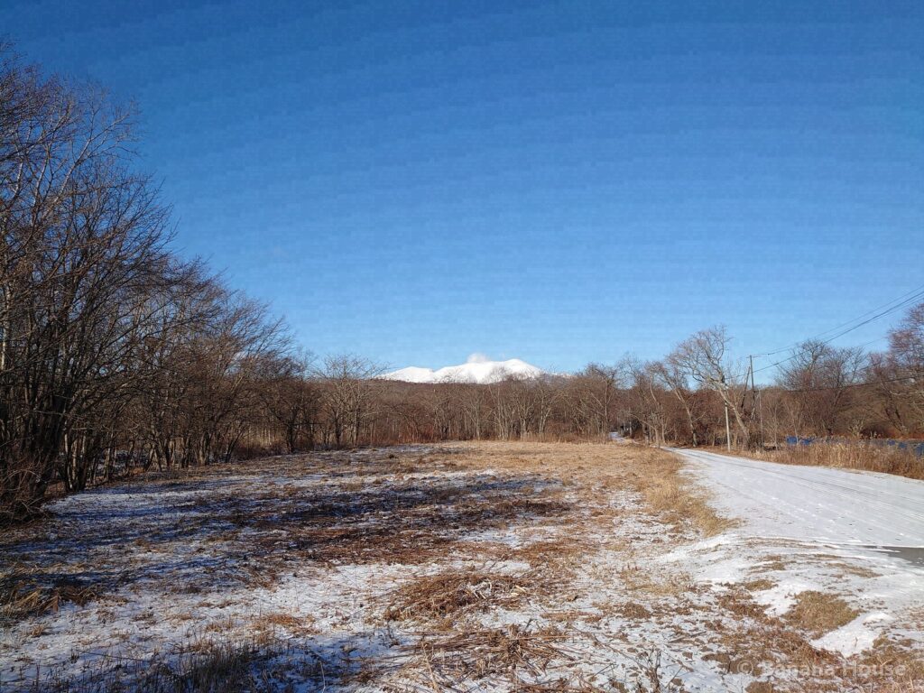
An active volcano with a lava dome, visible from all over Tomakomai
| From Tomakomai Station | By car about 35 min (about 30 km by road) Estimated from road map data. Traffic lights, congestion and winter roads can make it take longer. |
|---|---|
| Area | Tomakomai |
| Our photos | 2021 |
| Map | Route from Tomakomai Station / Open map |
What is Mt. Tarumae like?
Mt. Tarumae is an active volcano on the border of Tomakomai City and Chitose City, and is part of Shikotsu-Toya National Park. There is a lava dome at the summit, and you can see its distinctive shape from many places in the city.
From summer to autumn, it is a popular mountain because you can climb from the trailhead to the outer crater rim in a relatively short time. Because it is an active volcano, check the Japan Meteorological Agency’s volcano information and any trail restrictions before you climb.
Getting there from Tomakomai and travel time
From JR Tomakomai Station, it takes about 35 min by car. The distance is about 30 km by road.
The travel time is an estimate calculated for the route to near the summit. The road to the trailhead (7th station) is open only in summer.
Travel times are estimates based on the road distance from map data (OpenStreetMap), assuming an average speed of about 55 km/h (about 70 km/h for routes longer than 40 km). Traffic lights, traffic jams and winter road conditions can make the trip longer. Please check the latest road information before you go.
How people living in Tomakomai can enjoy it
When you live in Tomakomai, Mt. Tarumae becomes part of your everyday scenery. On clear winter mornings, the snow-covered mountain stands out sharply beyond the city and the lake (our photos were taken around Lake Utonai in January 2021).
Part of the road to the trailhead is open to cars only in summer. In winter, the basic way to enjoy it is as a “mountain to look at,” not to climb.
Our photo record
Our president visited in January 2021 and recorded about 25 photos.
This page was machine-translated. The Japanese original prevails.
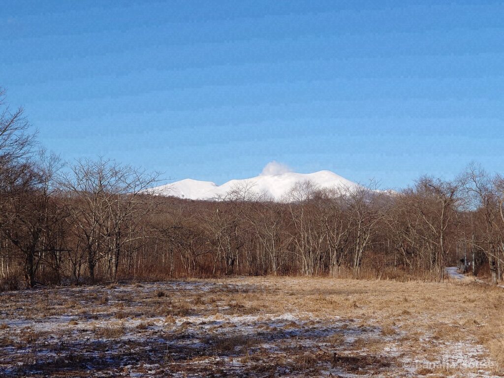
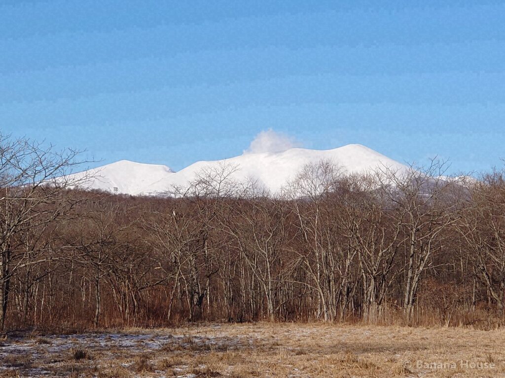
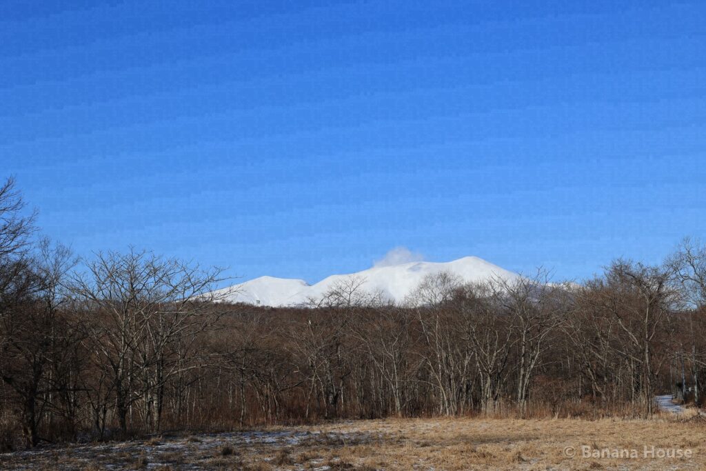
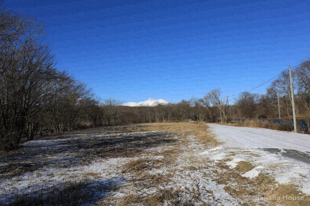
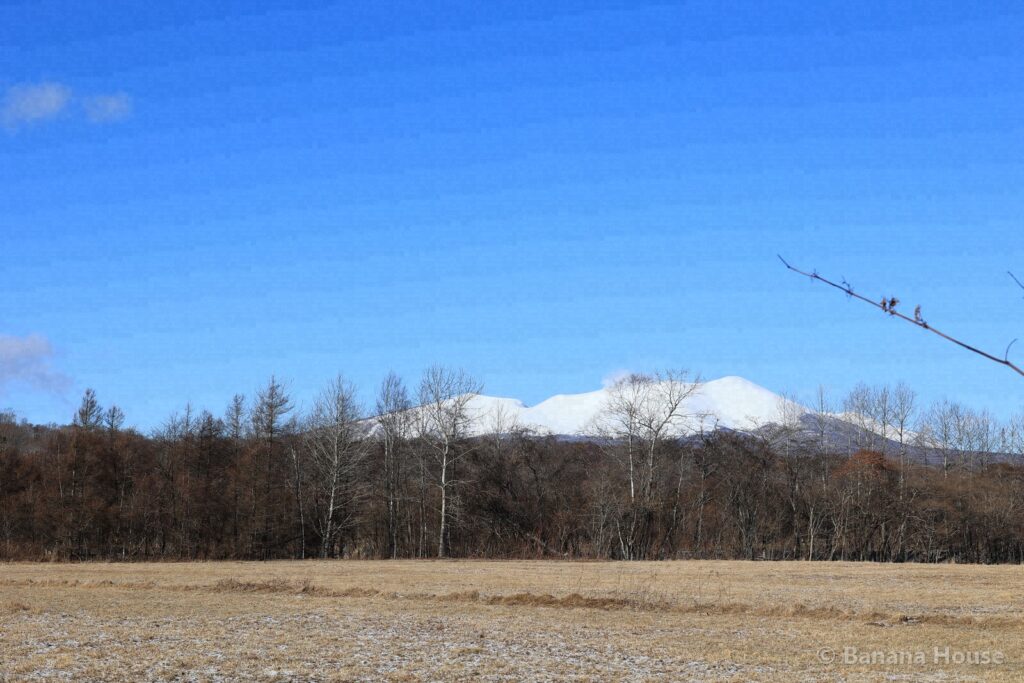
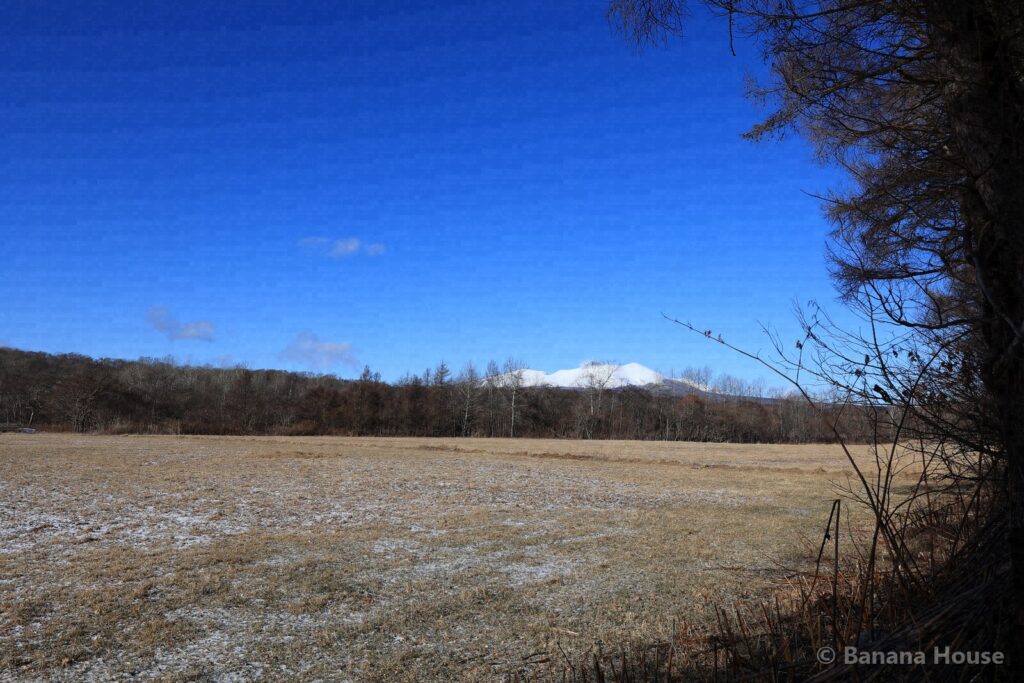
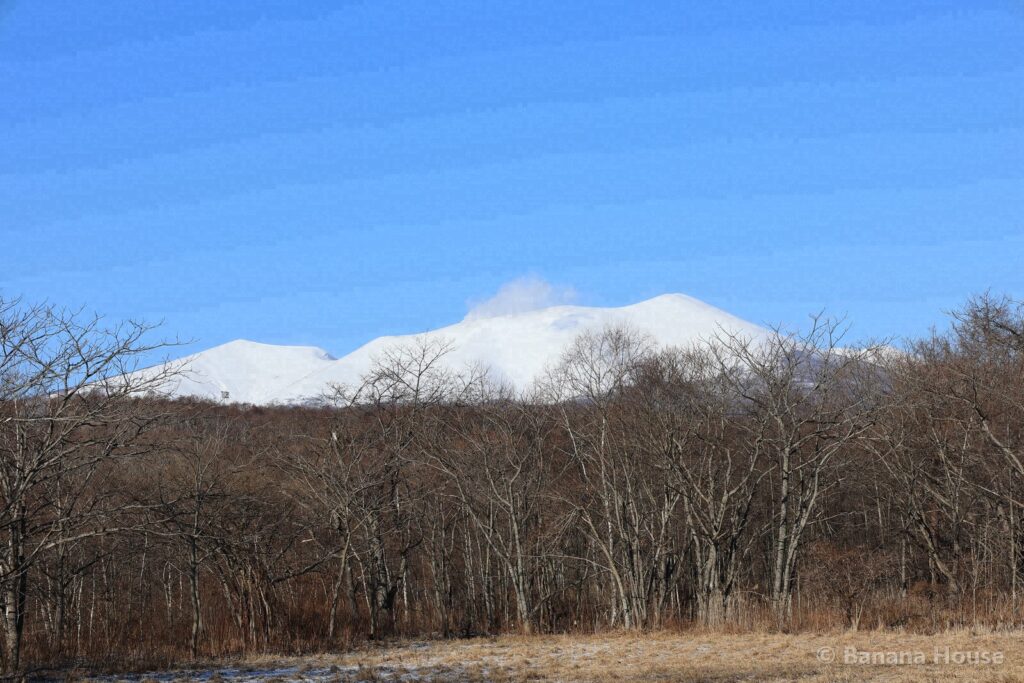
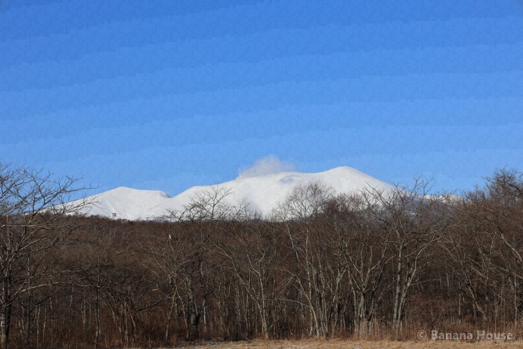
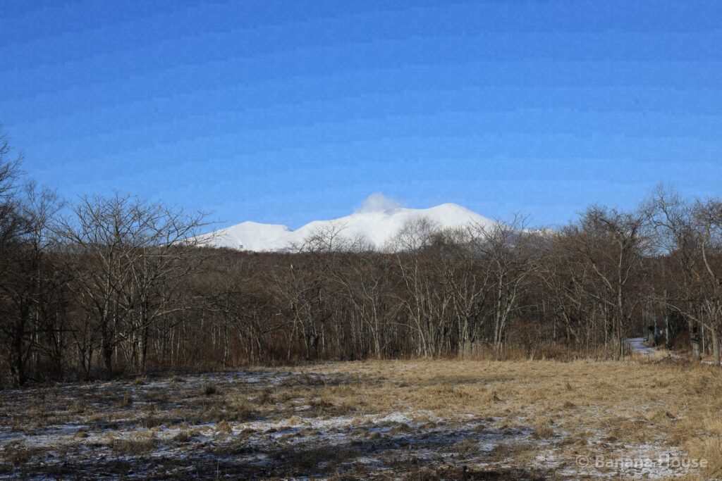
Photos: Banana House Inc. (taken by our president). Do not reuse without permission.
Our photo records and timestamp certificates
The 10 photos in this article were taken on site by our president. We list the SHA-256 hashes of the published files and have them signed by timestamp authorities (DateSealed, DigiCert, Sectigo)(First certified: 2026-11-03 12:40 JST). A signature shows that the same file existed before that time; it does not prove the date the photo was taken.
You can check the signature and hash of each photo from its timestamp certificate. To see whether a photo you saved matches our records, use the photo timestamp verification page (Japanese) .
Frequently asked questions
When can I climb Mt. Tarumae?
Generally from summer to autumn. The road to the trailhead is closed in winter. Because it is an active volcano, also check any entry restrictions in advance.
Nearby spots
- Inkura Falls (about 8 km in a straight line / from Tomakomai Station about 45 min)
- Lake Shikotsu (about 8 km in a straight line / from Tomakomai Station about 35 min)
- Nishiki-Onuma Park (about 11 km in a straight line / from Tomakomai Station about 15 min)
Looking for a home or selling in Tomakomai?
“Lake Shikotsu or Noboribetsu on weekends”, “I want to live near the airport”: we suggest areas that fit the way you want to live. We also help with selling and vacant houses.
Banana House Inc., 1-1-1 Honkocho, Tomakomai. We never use pushy sales. Please write in English or Japanese.