
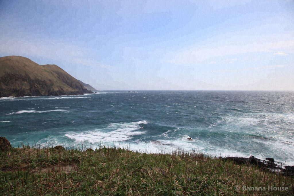
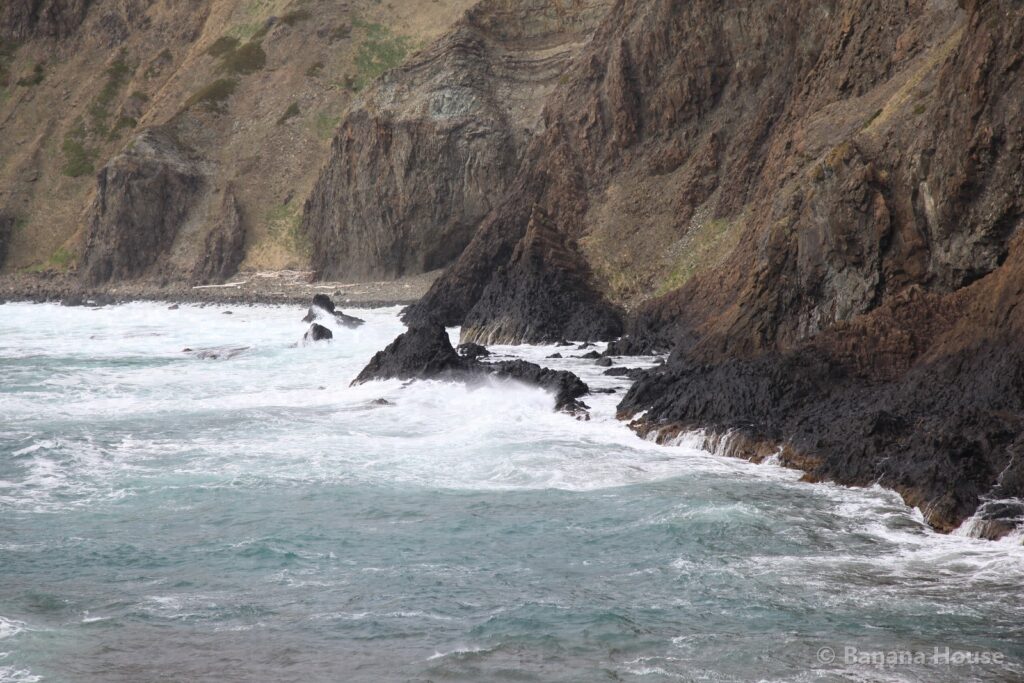
An emerald-green sea. The cape written "clear sea" (澄Sea) and read "Sukai"
| Getting there | From Tomakomai Station to Wakkanai Port: about 5 h 10 min by car (about 363 km by road). From Wakkanai Port to Kafuka Port: about 1 h 55 min by ferry. From Kafuka Port: about 40 min by car (about 22 km on island roads). A rough guide only. Please check ferry schedules and road conditions with the operators and road information services before you leave. |
|---|---|
| Highlights | Scenic views · Sea |
| Area | Rebun Island |
| Our photos | 2015 |
| Map | Open map |
What kind of place is Cape Sukai?
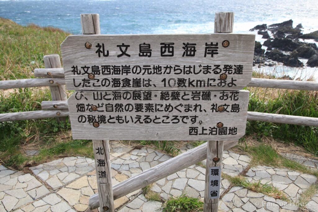
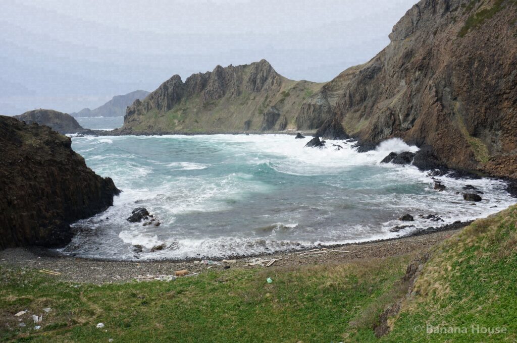
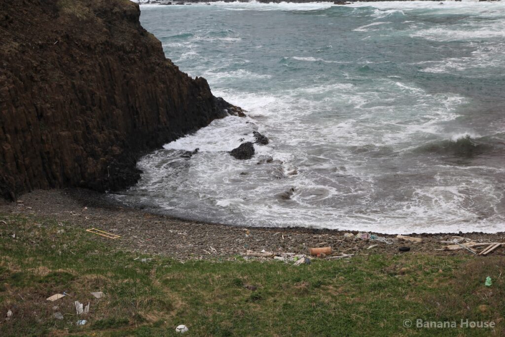
Cape Sukai is a cape in the northern part of Rebun Island. Its name is written with the characters for “clear sea” (澄Sea) and read “Sukai.” On sunny days the sea shines emerald green, and it is one of the most famous scenic spots on Rebun Island.
How to get there
From Tomakomai Station to Wakkanai Port: about 5 h 10 min by car (about 363 km by road).
From Wakkanai Port to Kafuka Port: about 1 h 55 min by ferry.
From Kafuka Port: about 40 min by car (about 22 km on island roads).
Travel times are estimates based on road distances calculated from road map data (OpenStreetMap), assuming an average speed of about 55 km/h (about 70 km/h for trips over 40 km). Ferry schedules and travel times change with the season and the weather, so please check with the ferry operator before you leave.
Highlights
It is on the north side of the island, so getting there takes time. Plan to visit with plenty of time to spare.
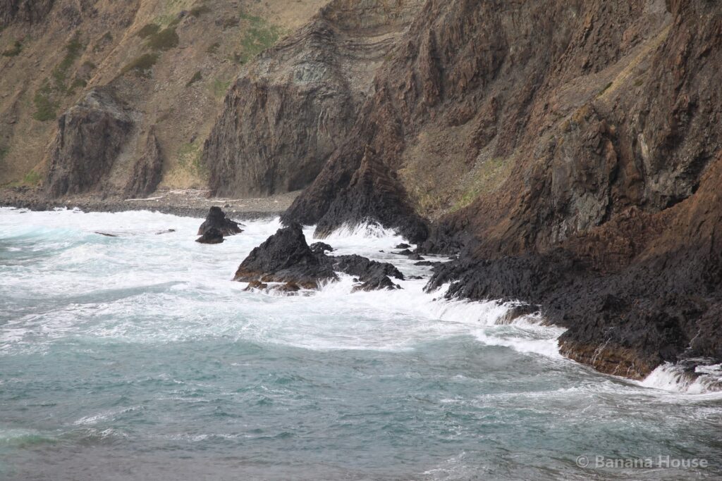
From a good viewpoint, you can see the shape of the cape and the changing colors of the sea.
Our photo record
Our president visited in May 2015 and took about 179 photos.
This page was machine-translated. The Japanese original prevails.
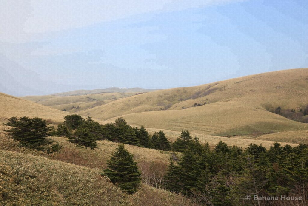
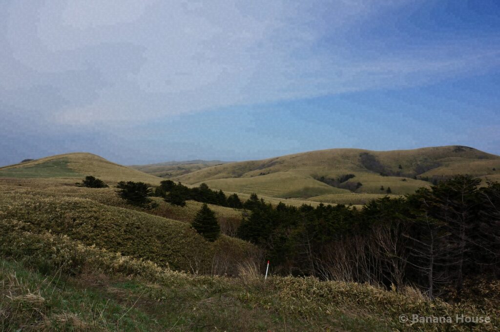
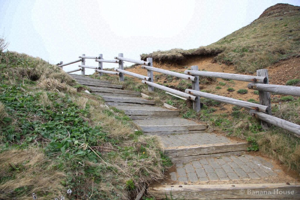
Photos: Banana House Inc. (taken by our president). Do not reuse without permission.
Our photo records and timestamp certificates
The 10 photos in this article were taken on site by our president. We list the SHA-256 hashes of the published files and have them signed by timestamp authorities (DateSealed, DigiCert, Sectigo)(First certified: 2026-11-03 12:40 JST). A signature shows that the same file existed before that time; it does not prove the date the photo was taken.
You can check the signature and hash of each photo from its timestamp certificate. To see whether a photo you saved matches our records, use the photo timestamp verification page (Japanese) .
Nearby spots
- Lake Kushu (about 5 km in a straight line)
- Momoiwa and Jizoiwa (about 13 km in a straight line)
- Kita no Kanaria Park (about 15 km in a straight line)
Looking for a home or selling in Tomakomai?
“Lake Shikotsu or Noboribetsu on weekends”, “I want to live near the airport”: we suggest areas that fit the way you want to live. We also help with selling and vacant houses.
Banana House Inc., 1-1-1 Honkocho, Tomakomai. We never use pushy sales. Please write in English or Japanese.